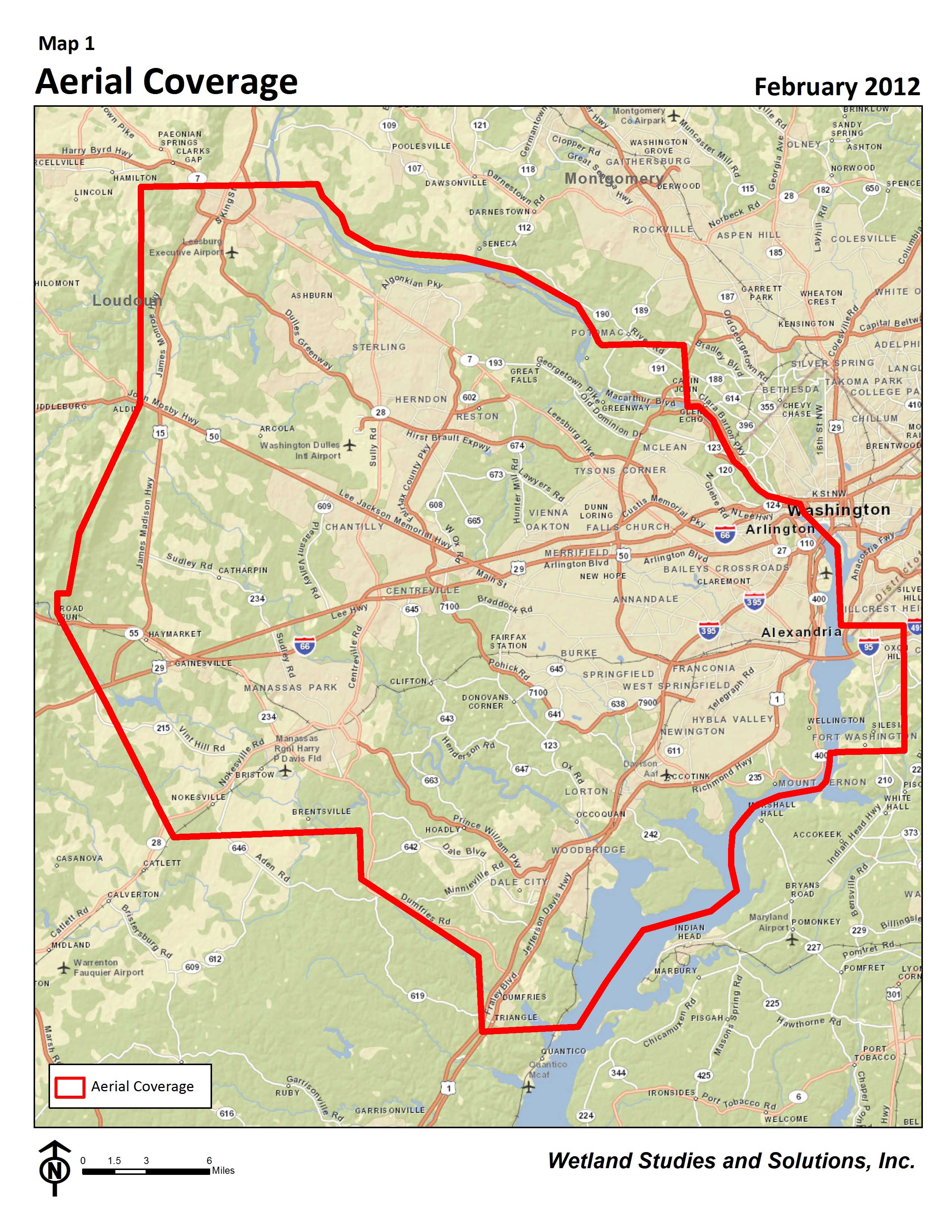
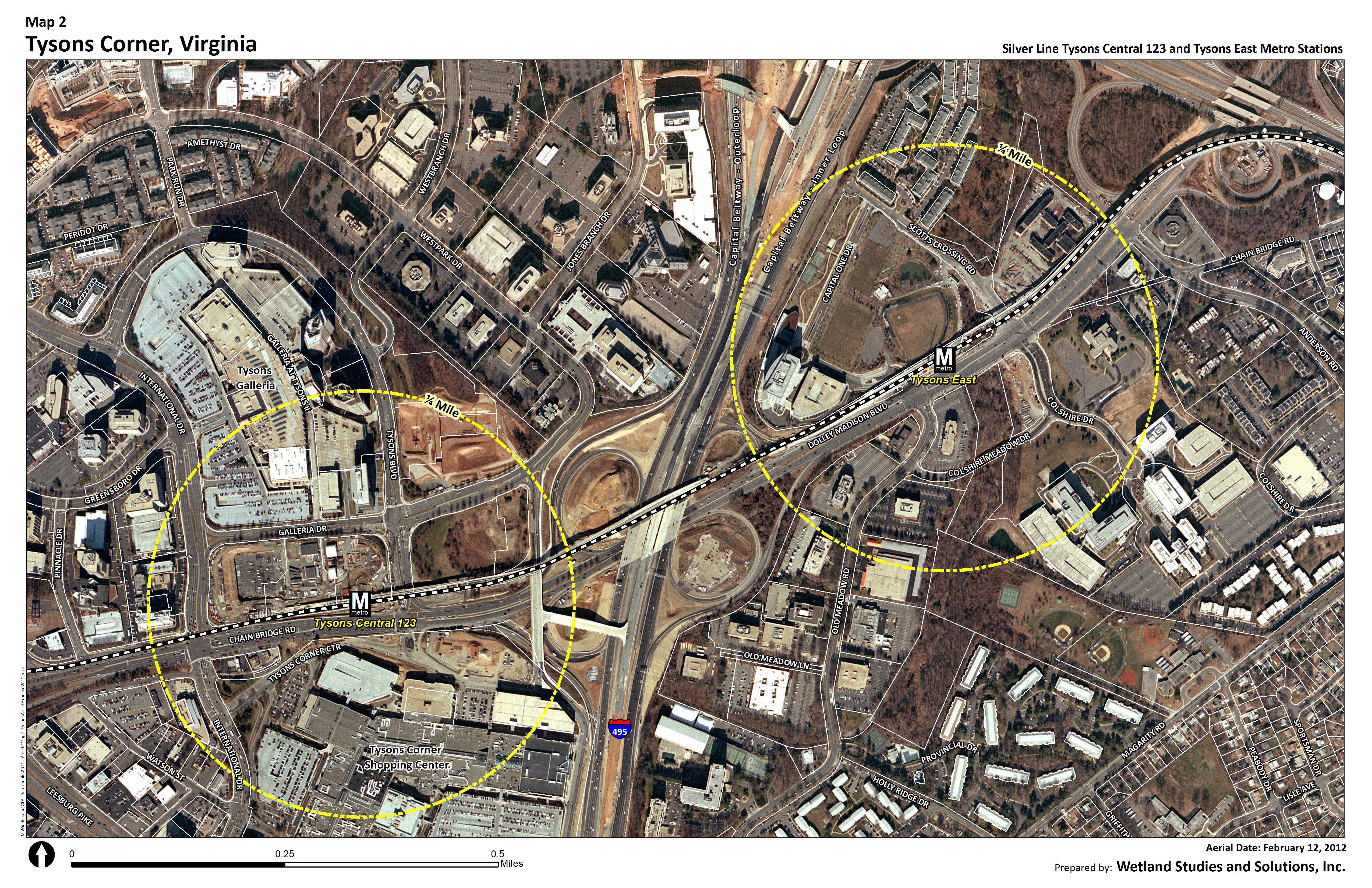
Wetland Studies and Solutions, Inc. (WSSI) is pleased to announce the arrival of the February 2012 aerials. This new imagery was flown exclusively for WSSI on February 12 and covers over 985 square miles of Northern Virginia (Map 1). These digital aerials are the latest addition to WSSI’s extensive collection of digital land data for the entire Washington DC metropolitan area, which spans as far back as 1937! Click the image below to see a sample of the new 2012 imagery of Tysons Corner, Virginia.
WSSI can customize this high resolution 2012 imagery to your area of interest with data overlays such as site plans or County land data (e.g., property lines, road networks and elevation contours) to create eye-catching, informative maps that can help you better understand, analyze, and market your project.
|
 Map 1 - Click Image to Enlarge Map 1 - Click Image to Enlarge |
|
| The advantages of WSSI aerial maps versus using Google© Maps or map viewers on County websites:
• Our aerials are newer than Google© Maps for Northern Virginia
• No watermarks or symbols you can't change
• Overlay your site plans or ask for custom features and graphics
• Multiple page sizes for prints
• Printing on plain or photo paper
• Lamination and mounting for presentation boards
• Multiple digital file formats sent via email or disc
• Quick delivery/shipping
Our team of four full-time mapping specialists can provide a multitude of mapping services and products on-time and within budget. In addition, WSSI performs other custom mapping projects that can save you time and money, including property owner research, land suitability research and ranking, zoning maps, modeling the affects of proposed ordinance revisions, Resource Protection Areas (RPA) mapping, Environmental Quality Corridor (EQC) analysis mapping, line of site/visibility maps and modeling, and environmental/historical constraints mapping.
If you have any questions or would like more information on how WSSI's digital aerial and land data collection can assist with your next project, please contact Sarah Townsend.
|