|
WSSI knows that accurate location information for protected resources is essential to the permitting and land planning process. Our in-house survey department saves our
clients time and money by locating and mapping delineated wetlands, archeological sites, and other sensitive resource areas and transmitting that data directly to other team
members working on the same project. Our seamless integration of information ensures that our clients’ development schedules are kept on target.
WSSI’s Survey and GIS teams include:
Licensed Land Surveyors
ISA Certified Arborists
HAZWOPER Hazardous Materials Technicians
Registered GIS Professionals
Certified Mapping Scientists
|
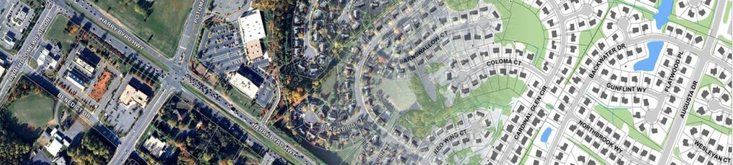
WSSI also maintains one of the most comprehensive Geographic Information Systems (GIS) databases for the Northern Virginia area. With our extensive array
of data, we can accurately and efficiently produce maps for virtually any internal or external request. We can also assemble a variety of spatial data for geographic
research and cartographic displays; we specialize in desktop wetland reconnaissance; RPA, hydrologic modeling, and Environmental Quality Corridor (Fairfax County) analyses;
feasibility studies; retail/commercial location analysis; and environmental modeling. We can also provide several imagery sets with custom cartography for nearly all of
Northern Virginia in both digital and hard copy format. |
WSSI provides the following GIS and Survey services:
GIS:
- Digital imagery and map overlays
- Desktop wetland reconnaissance
- Resource Protection Area (RPA) mapping
- Fairfax County Environmental Quality Corridor (EQC) mapping
- Base maps for hydrologic modeling
- Feasibility studies
- Retail/commercial location analyses
- Environmental modeling
Survey:
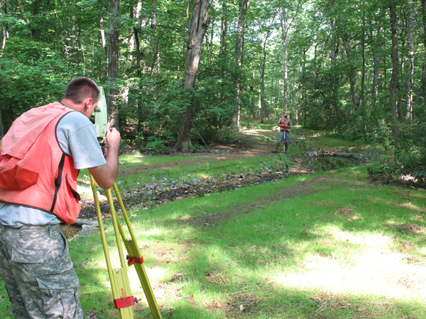
- Boundary surveys
- Topographic surveys
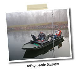
- Bathymetric surveys
- Wetland delineation location surveys
- Stream profiles and cross-section surveys
- Construction stake-out
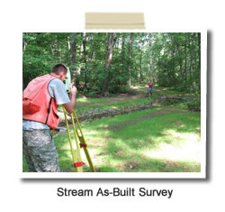
- As-built surveys
- House location surveys
- Tree identification and location surveys
- Rare, endangered, and threatened species location surveys
- Archeological site (including graves) location surveys
|
|
|